By Rebecca Murphy
On our recent trip, we returned from Oregon via highways 97 and 89, which starts north at Weed, CA and shares Interstate 5 for a few miles; 89 then travels south to Interstate 80 at Truckee. It passes over Highway 80 and continues south along the western edge of Lake Tahoe ending its southern trek at Highway 88 in Hope Valley, but that is not what this piece is about.
We had not traveled the northern section of Highway 89 in many years, so the return home along that route was new to us again. An an aside it was interesting to note that most of the small former logging and mining towns that we passed through in northern California and southern Oregon had a Dollar General store; that included Weed, where I took a photo of Mount Shasta above the store. Not a pretty sight, but perhaps a necessary place to shop for those people who have lost their livelihoods in these small hamlets of the U.S.
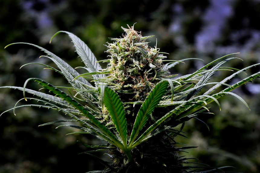
Weed has certainly taken on the character of its name — “The Weed Store” seemed to be at nearly every corner like gas stations used to be. Inside was the usual clothing paraphernalia — T-shirts, hoodies, sweatshirts and caps. Hippies were not welcome in this town less than half-a-century ago, but today they seemed to flow out of the woodwork and along the streets.
Merely passing through Weed, we made our way south to the popular McArthur-Burney Falls Memorial State Park, where we paid our half-price fee for entry (thanks to a senior discount) and barbecued everything from steak and pork to chicken and potatoes. It was our opportunity to do so without being in a registered campground — something we tend to avoid with our self-contained truck and camper unit. We stayed a couple of hours and enjoyed the view of the 129-foot falls. The depth of the pool into which Burney Falls drops is 22 feet and the water temperature is stated to be in the range of 42-48-degrees F. One hundred million gallons of water flow through the falls on a daily basis and the area is the nesting ground of the black swift, the largest bird of its family normally found in North America. According to the National Audubon Society’s website – “The Black Swift seems to be limited in range by its very particular choice of nesting sites: it requires shady, sheltered spots on vertical cliffs totally inaccessible to predators, and often nests on the damp rock behind waterfalls.” We didn’t see any of its kind, but I’m sure they were there somewhere.
Moving south along Highway 89, which connects with Highway 44, we traveled through Lassen Volcanic National Park. Another thanks for senior status, we were able to pass through the park for free owing to my husband’s federal lands Senior Pass, which we purchased after his 62nd birthday. At that time – three years ago – the pass was $10 and is good for a lifetime. In December 2016, the lifetime pass increased to $80. People can still purchase an annual pass for $20 and after four purchases, they can trade for the $80 lifetime pass. It’s a great deal as we were able to drive through Lassen National Park for free when the fee for traveling along Highway 89, which becomes Lassen Volcanic National Park Highway at this location, is $25. There have to be some benefits to getting older and the National Park and Recreation Lands Senior Pass is one of them.
The park was beautiful with loads of snow along the road; we had several days of rain prior to entering the park, so at this altitude rain turned to snow. We read that the earliest the road had ever been open was in May and the latest, July. The road literally travels up to more than 8,000-feet and around Lassen Peak (10,457-feet). There isn’t much of a shoulder for snow removal equipment – mostly steep cliffs. Clearing the way appeared to be a monumental chore. We managed a short hike of 3.8 miles into Paradise Meadow and back to our vehicle, but with all the tourists and visitors during this particular holiday, we decided to make a break for it.
We continued south, hit the town of Chester, filled the very hungry gas tank and proceeded along 89 – a beautiful drive in itself. The highway travels through the Shasta-Trinity, Lassen, and Plumas national forests before hitting Interstate 80, so finding a place to camp did not pose any problems for us. We passed through the towns of Greenville, Quincy, Spring Garden, Cromberg, Graeagle, and Sattley before reaching Sierraville, the largest town about 30 miles north of Truckee. Highway 89 is quite the commute route through this part of California, what is called Sierra Valley.
Along the way, we stopped at Sierra Hot Springs, aka Campbell Hot Springs, originally founded by Sheriff John Campbell in 1870. Although shot dead in downtown Sierraville, the ranch has remained a hot springs resort over the centuries. It is a clothing optional resort, which became a commune in 1987. Owned by a non-profit – New Age Church of Being – Sierra Hot Springs is the sister resort of Harbin Hot Springs in Napa. Owing to the fires there last year, Harbin burned down and Sierra Hot Springs has enjoyed a boom in visitors, many coming from the Bay Area.
Ending our week-long trip at Stampede Lake near Prosser Lake and Boca Reservoir, we enjoyed the peaceful surroundings of the mountains before the rush of summer and the July 4th holiday. Reservations are definitely required in the summer months, but we were fortunate to be there in the off-season when spaces were available and people were few.
Credit: www.mtdemocrat.com


